

Using Drone Imagery and Precision Planting to Simplify Replant Decisions
When the crop just doesn't establish like it should
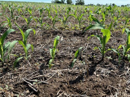
In many regions, replanting has shifted from an occasional inconvenience to something growers expect to face at least once each season. Whether it’s crusted soils, pounding rains, cool temperatures, or insect pressure, there always seems to be one field—or one corner of a field—that just doesn’t establish the way it should.
But while the need to replant may be common, the decision-making process is still a headache. Questions stack up quickly:
- Where exactly do I need to replant?
- How many acres are truly affected?
- How thick should I plant in each zone?
- When can I get this done without hurting the rest of the operation?
And one of the biggest frustrations is timing. Sometimes you know you need to replant and can get in the next day to get it done. Sometimes you know you need to replant, but it's at least a week until the planter can get back to the field. That gap creates a window of uncertainty—plenty of time to recognize a problem, but not enough time to stand in the field day after day making mental maps of plant populations and trouble spots. This is where drone imagery and precision planting technology can bridge the gap.
Turning a Stressful Guessing Game Into a Targeted Plan
A replant pass is most profitable when the decision-making is accurate. Too many seeds in the wrong part of the field can cut yields and waste money. Too few, leave yield on the table, especially in patches that suffered heavy stand loss. The challenge has always been identifying what each part of the field truly needs and then delivering that rate with precision.
If a grower could walk into the field with a replant prescription already loaded in the monitor—clean, mapped, and ready to execute—the replant process would shift from reactive to proactive. That’s now possible.
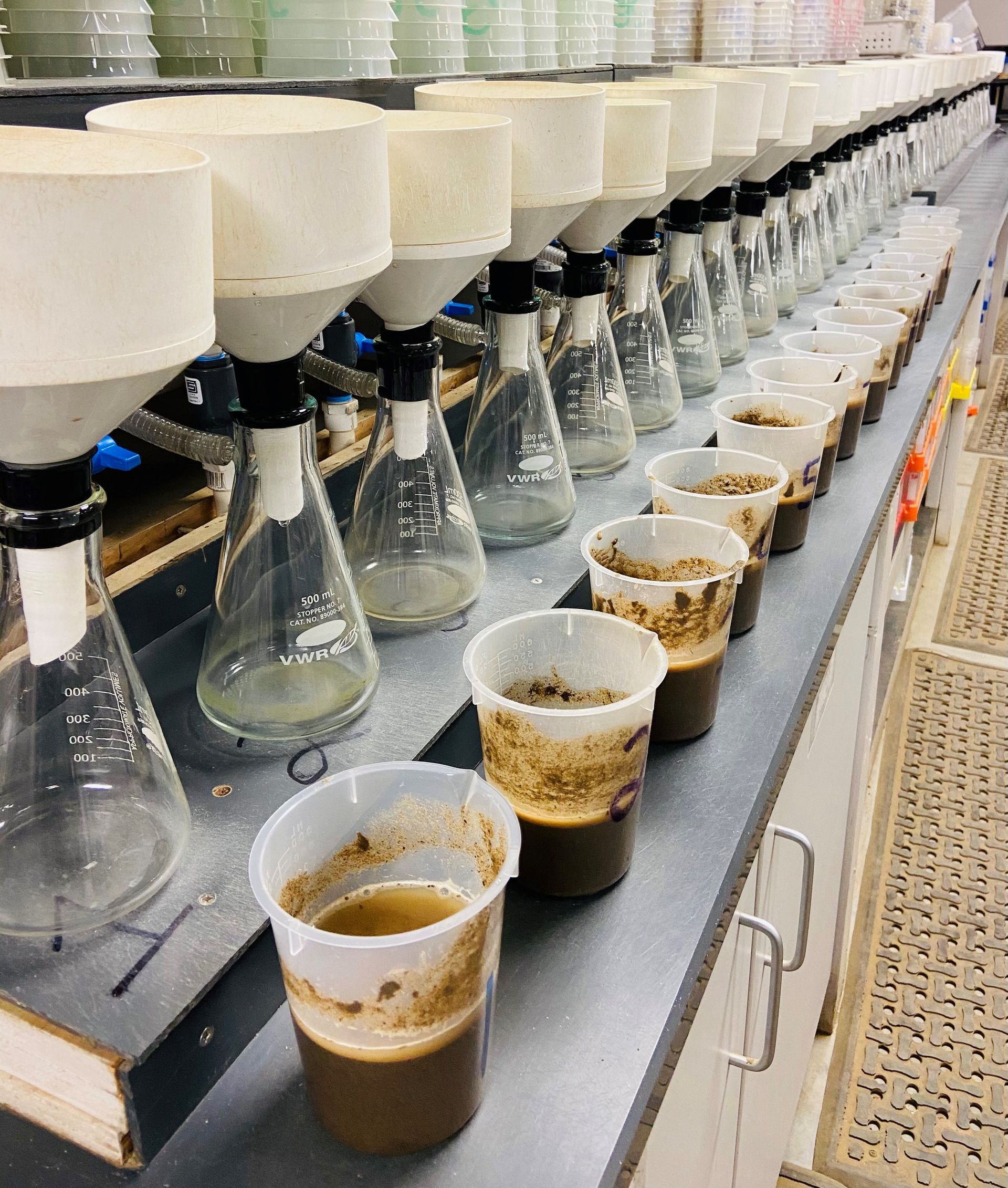
During the spring of last year, Brookside Labs partnered with Matt Vehorn at Precision Agri-Services to test exactly this concept in a real on-farm situation. A grower had a field that needed partial replant, and we used that opportunity as a trial run to explore how drone-based mapping could support replant prescriptions.
How It Worked: Wingtra Flyover + Polygon Mapping
Brookside Labs flew a Wingtra fixed-wing drone, a platform designed for capturing high-resolution imagery quickly across large acreage. The goal was to identify the specific areas that required replant.
In this trial, the drone captured imagery after the field had already been replanted—that’s just how the timing worked out. But the workflow illustrated what could easily happen before a replant pass:
- Farmer notifies his/her Amplify Consultant or Brookside Labs that a field will likely need replant.
- Drone flyover is scheduled during that 7–10 day window when replant is suspected but the planter isn’t yet available.
- The imagery is processed and polygons are drawn around the exact areas needing attention—no guessing, no hand-drawn notes, no relying on memory.
- Those mapped zones are shared back with the Amplify consultant for a replant prescription to be generated, or Brookside Labs can write the prescription in-house.
- The grower returns to the field with a ready-to-load replant RX, eliminating the stress, indecision, and wasted time.
The trial helped confirm that this workflow is not only feasible, but incredibly practical—especially as partial replants continue to become more common.
Why This Matters Going Forward
Farms across the Midwest are already adopting aerial imagery for scouting, but replant planning is one of the areas where imagery delivers immediate, tangible ROI:
- Reduced overplanting and underplanting
- Better time management during the busiest weeks of spring
- Cleaner data records for future analysis
- Less stress when you already have a dozen other decisions on your plate
As planters become more advanced and variable-rate capabilities become standard, pairing them with accurate, timely drone maps is the natural next step.
Interested in Bringing This to Your Operation?
If you’d like to learn more about using drone imagery to support replant decisions—or if you’re curious about the workflow we tested with Precision Agri-Services—we’d be glad to talk more.
📞
Call us at: 419-977-2766
📧
Email:
info@blinc.com
Already working with an Amplify consultant? Reach out to them directly—they can help coordinate imagery, prescriptions, and timing.
Heather Rindler, CCA
Research Agronomist
Brookside Labs | Amplify Network